I’m making maps with Stamen Maps.
There is so much space and sensory experience between what a map shows you and what the land shows you. Walking the studied land is disorienting. One feels that location and place should feel obvious.
I have pored over this territory.
I could guess how many steps are to the creek east of me and be correct.
Still, it feels strange.
Something vertiginous about the bird’s eye view.
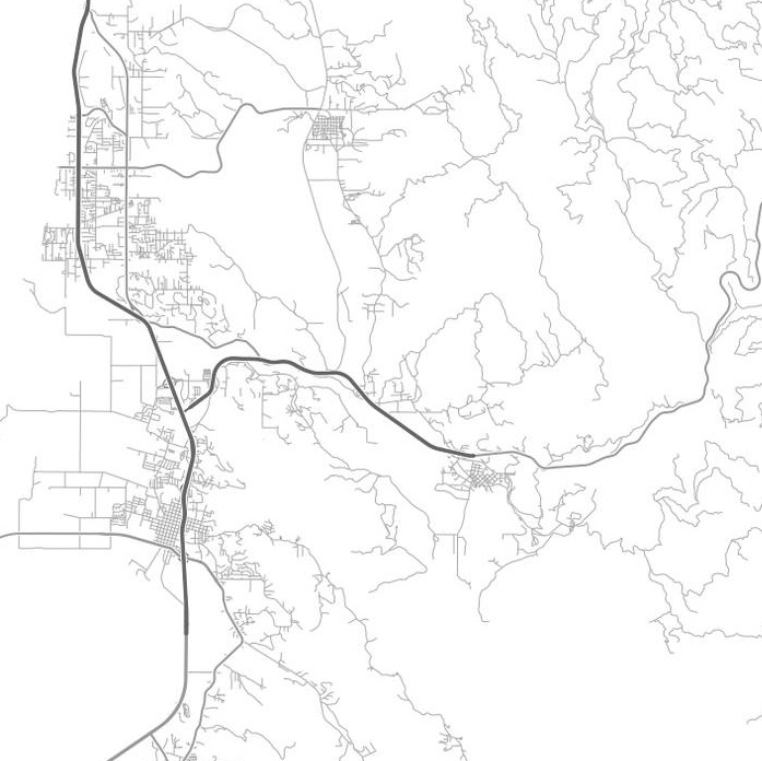
Here are two maps. Both depict the city of Arcata, in Humboldt County, CA, to the left/west. As your eye roves east, you see Rte 299, a main corridor through the Trinity Alps toward Redding. (This is the setting for my novel – the path of escape.)
What is a river and what is a road? What is green, brown?